That epic aerial shot of the Bungle Bungles or the Great Ocean Road isn’t just a flight away; it’s a legal minefield that could cost you thousands in fines before you’ve even cleared the tree line. We all want to capture the raw beauty of our country from above, and nothing beats the perspective a drone gives us when we’re out exploring the bush. However, staying on the right side of the drone laws Australia national parks enforce can feel like trying to navigate a track without a map. It’s frustrating when you’re caught between CASA safety rules and a patchwork of state-specific bans that seem to change at every border.
We’re here to clear the air and ensure your next adventure is both spectacular and legal. In this guide, we’ll help you master the complex 2026 regulations so you can capture breathtaking footage without risking heavy fines or disturbing sensitive wildlife. We’ll walk you through where you can fly, how to secure the right permits for places like NSW or the NT, and how to stay respectful of the environment we all love. From understanding why Victoria remains a no-fly zone to mastering the 120 meter altitude limit, we’ve got you covered. Let’s get you ready for takeoff with total confidence.
Key Takeaways
- Master the “Two-Layer” rule to balance national CASA safety standards with specific land manager bylaws for a legal flight on your next trip.
- Identify the 2026 state-by-state requirements for drone laws Australia national parks enforce, ensuring you know exactly where permits are mandatory.
- Learn how to fly ethically to protect sensitive wildlife and preserve the remote wilderness experience for our fellow Adventurerz.
- Streamline your prep with a pre-flight checklist that uses CASA-verified apps and local management plans to avoid heavy fines.
- Discover how to integrate aerial photography into your 4WD route planning while choosing gear that stands up to rugged Australian conditions.
Table of Contents
Navigating the Skies: Australia’s National Drone Framework in 2026
To get the shot of a lifetime, we have to understand the two distinct layers of authority governing our flight. First, there is the Civil Aviation Safety Authority (CASA). They manage safety for all aircraft in the sky. Second, there are the land managers, such as the National Parks and Wildlife Service. Understanding the drone laws Australia national parks require means respecting both parties. Think of it this way: CASA cares if you hit a plane; the park ranger cares if you disturb a nesting eagle or a quiet campsite. Both have the power to ruin your day with heavy penalties if you don’t follow the rules.
As of 2026, the requirements have tightened for our community. Every recreational pilot must now hold a valid Flyer ID, and your drone must be registered with CASA before you even think about takeoff. These digital credentials are your “license to explore” from the air. Without them, you’re looking at instant fines if a ranger checks your gear at a trailhead. Even in the most remote corners of the Kimberley or the High Country, Australia’s drone regulations apply. We view these steps as part of being a responsible outdoor enthusiast, much like checking our tire pressures before hitting a beach track.
One of the biggest hurdles we face in the bush is the 120-metre ceiling. You must never fly higher than 120 metres (400 feet) above the ground. While this sounds simple, rugged national park terrain makes it tricky. If you fly off a cliff edge, your height relative to the ground suddenly increases. You also must maintain a Visual Line of Sight (VLOS) at all times. In thick scrub or deep gorges, your drone can disappear in seconds. If you can’t see it with your own eyes, you’re breaking the law. These “Standard Operating Conditions” are designed for flat suburbs, so they require extra focus when we’re in the wild.
The CASA Baseline: Safety First
CASA sets the foundation for every flight. The most critical rule is the 30-metre buffer. You must keep your drone at least 30 metres away from other people at all times. This is vital at popular lookouts or crowded campgrounds where others are trying to enjoy the peace. In 2026, authorities use digital watchdog systems to monitor remote airspace. These systems can detect signals from drones in real-time. This makes it much easier for authorities to track down flyers who ignore no-fly zones near active bushfires or emergency services. We never fly near these areas; it’s dangerous and stops life-saving work.
The Land Manager Layer: Why Parks are Different
While CASA manages the air, land managers control the dirt. This is where many of us get caught out. Under various state versions of the Environmental Protection Act, parks are designated as sensitive zones. Most drone laws Australia national parks enforce focus on the act of “launching and landing” within park boundaries. Even if you follow CASA safety limits, a ranger has the authority to seize your equipment if you launch from within a park without a permit. Some flyers try to “overfly” by launching from outside the park, but this is a risky grey area that often leads to conflict. We always recommend getting the right paperwork to keep your gear safe and your conscience clear.
State-by-State Breakdown: Where Can You Fly in 2026?
Crossing state borders in your 4WD is one of the joys of remote travel. However, your drone’s legal status changes the moment you cross that line. While CASA drone safety rules provide a national baseline for safety, each state manages its parks with different priorities. We’ve found that what works in the wide-open spaces of the West won’t fly in the crowded lookouts of the East. Understanding the drone laws Australia national parks enforce is the only way to avoid a ranger’s tap on the shoulder and a massive fine. We always treat the local rules with the same respect we give to a closed track or a fire ban.
The Strict States: NSW, Victoria, and Tasmania
Victoria remains the toughest environment for our community. Recreational drone use is prohibited in all national parks and areas managed by Parks Victoria. This is a blanket rule designed to protect the peace and the local fauna. In New South Wales and Tasmania, the approach is slightly different but just as firm. You must apply for a permit well in advance. These permits aren’t just a formality. They often require a fee and a clear reason for flight. We’ve seen fines exceed $1,000 for unauthorized flights in high-traffic spots like the Blue Mountains or Wilsons Promontory. If you’re setting up camp under one of our recommended roof top tents, always check the local park signage before you unpack the controller.
The Flexible States: QLD, WA, and SA
Moving West and North, the framework shifts toward a “Visit with Care” approach. In Queensland, drones are prohibited in all camping areas within protected lands. However, other zones may be accessible if you follow local signage and stay clear of people. Western Australia encourages us to “Fly Neighbourly.” This means avoiding noise pollution near other visitors who have traveled thousands of kilometers for a quiet wilderness experience. If you’re in a popular spot like Karijini, keep your flight times short and your altitude respectful.
The Northern Territory and South Australia require permits for every flight within a park or reserve. In the NT, this is often about cultural respect. Many of our favorite remote spots are sacred to Traditional Owners, and flying without permission can be deeply offensive. In South Australia, the focus is heavily on marine life. You must maintain a 300-metre approach limit for whales and dolphins. It’s an offense to fly in any SA national park, reserve, or marine park restricted access zone without a permit. We always plan our routes weeks in advance to ensure our paperwork is as solid as our recovery gear.
- Queensland: Stay clear of campgrounds; check for “Drone Friendly” forest zones in recreation areas.
- Western Australia: Respect the “Fly Neighbourly” guidelines to preserve the remote atmosphere.
- South Australia: Strict 300-metre approach limits apply for all marine mammals.
- Northern Territory: Permits are mandatory to navigate sacred sites and indigenous-managed lands.
Protecting the Wild: The Ethical “Why” Behind Drone Restrictions
We often hear gripes about the red tape surrounding drone laws Australia national parks enforce, but there is a deep, ethical reason for these restrictions. As members of our Adventurerz community, we pride ourselves on leaving no trace. That philosophy extends to the sky. When we launch a drone, we aren’t just flying a camera; we’re introducing a mechanical presence into a fragile ecosystem. High-pitched rotor noise can carry for kilometers in still valley air, shattering the remote wilderness experience that our fellow travelers have worked so hard to find. We’ve all been at a quiet campsite only to have the silence broken by a buzzing drone; it’s our job to ensure we aren’t that person.
Beyond the noise, the impact on wildlife and culture is profound. You can check the specific State and territory drone rules to see how different regions manage these sensitivities, but the underlying principle remains the same: respect the land and its inhabitants. We view our drones as tools for storytelling, but they should never come at the cost of the environment we’re trying to showcase.
The Raptor Conflict: Drones vs. Eagles
To a Wedge-tailed Eagle, your drone doesn’t look like a toy; it looks like a rival or a predator. These magnificent birds are highly territorial. They will often attack drones, leading to catastrophic gear failure for us and, more importantly, severe injury to the bird’s talons and wings. We avoid flying during nesting seasons, typically from July to December, when raptors are most aggressive. Even a single flight can cause lasting harm. The presence of a drone near nesting shorebirds triggers a spike in heart rate and stress hormones that can lead to nest abandonment.
Indigenous Cultural Respect
Australia is a living cultural landscape. Many of the rugged ranges and waterholes we visit are part of ancient songlines or sacred sites for First Nations people. Flying over these areas can be seen as a violation of privacy and spiritual protocols. Modern drone apps often highlight these sensitive zones, but they don’t catch everything. We make it a rule to research the traditional ownership of the land before we arrive. If you’re shooting for a commercial project, seeking traditional owner consent isn’t just a legal step; it’s a mark of respect for the oldest continuous living culture on Earth. Following these steps ensures we remain welcome in these incredible, remote locations.
The Adventurer’s Pre-Flight Checklist for National Parks
Before we ever lift off, we follow a strict routine to ensure our flight is as safe as it is spectacular. A solid checklist is the difference between a successful shoot and an expensive disaster. In remote Australia, the margin for error is slim. We treat our drone pre-flight with the same methodical care we give to our vehicle recovery gear. This routine keeps us compliant with the drone laws Australia national parks enforce while protecting the environments we’ve come to explore. It’s about being ready for the unexpected, from sudden wind shifts to curious wildlife.
- Step 1: Check the App. Always open a 2026 CASA-verified app like OpenSky. This gives us real-time data on restricted airspace, nearby airfields, and temporary flight bans.
- Step 2: Review the Management Plan. Every park has a specific management plan. We verify these online before we lose reception to confirm if recreational flight is permitted in our specific camp zone.
- Step 3: Gauge the Conditions. Check for coastal thermals or wind shear in deep canyons. These invisible forces can easily overpower a small drone, sending it into a rock face.
- Step 4: Talk to Your Neighbours. We practice a “Good Neighbour” policy. A quick chat with nearby campers prevents misunderstandings and ensures everyone’s privacy is respected.
- Step 5: Scan for Wildlife. Perform a final sweep for nesting birds or nearby kangaroos. If we spot raptors circling, the drone stays in the bag.
Essential Apps and Digital Tools
In 2026, our digital toolkit is more advanced than ever. We use apps that provide real-time restricted airspace alerts, even when we’re miles from the nearest cell tower. Downloading offline maps for park boundaries is a non-negotiable step in our prep. We also sync our flight logs to the cloud whenever we get back to town. This provides a digital breadcrumb trail that serves as legal protection, proving we stayed within the 120-meter limit and respected the drone laws Australia national parks have established. It’s our way of staying accountable to the community and the authorities.
Field Safety in Remote Australia
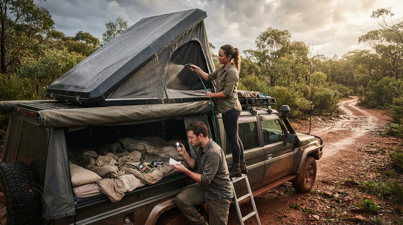
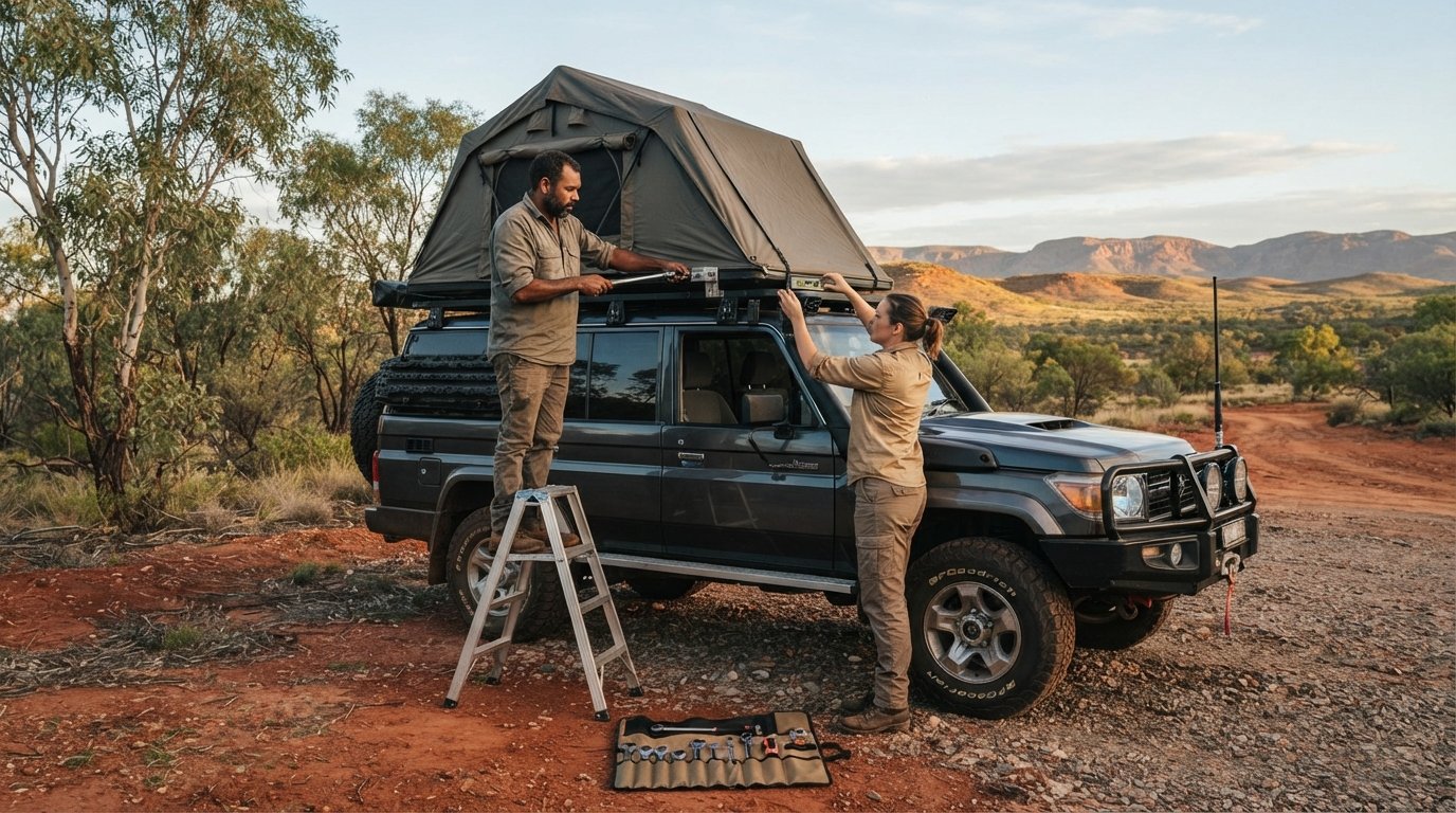
Extreme heat is a battery killer. In the Outback, we never leave our flight batteries in a hot car. We store them in insulated cases to prevent swelling and failure. When flying in heavy forest canopy, we adjust our “Return to Home” settings to a higher altitude to clear the treetops. For a stable takeoff, we’ve found that roof top tents make the perfect elevated launch pad. They get us above the tall grass and dust, providing a clean, flat surface for our sensors to calibrate. If you’re looking for the best way to level up your remote camp setup, check out our guide to roof top tents to find the perfect platform for your next aerial shoot.
Capturing the Adventure: Responsible Gear and Community
Choosing the right bird for the bush is a balancing act. We need enough weight to fight the gusty coastal winds of the Great Australian Bight but enough portability to hike into a hidden gorge. While ultra-light drones are easier to pack, they often struggle when the weather turns. We recommend a mid-weight setup for most remote travel. This ensures your flight remains stable and safe, helping you stay compliant with the drone laws Australia national parks enforce. It’s not just about the camera; it’s about the airframe’s ability to handle the rugged conditions we love without drifting into restricted zones.
We always integrate our aerial shots into our travel planner. Mapping out your route in 2026 means more than just finding the next fuel stop. It’s about timing your arrival at a landmark for the best light and checking the local airspace status one last time. By planning ahead, we ensure we aren’t rushing our setup or ignoring the rules in the heat of the moment. This methodical approach is what separates a professional shot from a fine-worthy mistake.
If your travel planning extends beyond the bush to international coastal escapes, you might also learn more about Cedar Coast Retreat to see how they offer a peaceful base for exploring Vancouver Island’s shoreline.
The Ultimate Remote Setup
Keeping your gear powered in the middle of the Simpson Desert requires a solid plan. We rely on our 4WD dual-battery systems to charge our flight packs via DC-to-DC chargers. This keeps us ready for that perfect sunset shot without draining the starter battery. When it’s time to review the day’s footage, we use our 4WD awnings as a mobile edit suite. The shade protects our screens from glare and keeps our laptops cool in the midday heat. It’s also the perfect spot to perform maintenance, like blowing fine Australian bulldust out of the gimbal motors with a hand blower. Protecting your sensors from this abrasive dust is vital for long-term gear durability.
Storytelling for the Modern Explorer
The best aerial photography does more than just show a pretty view; it tells a story of stewardship. We encourage our community to move beyond the standard “top-down” shot. Try creative, low-impact angles that highlight the scale of the landscape without hovering directly over sensitive areas or other campers. Use your lens to highlight the importance of conservation, showing the beauty of the parks we are all working to protect. By sharing footage that respects the drone laws Australia national parks have in place, we inspire others to do the same. This self-regulation within our community is what keeps these parks open for all of us to enjoy.
Join our community to share your ethical adventure footage and help us set the standard for responsible exploration across this great continent!
Elevate Your Next Expedition
Mastering the drone laws Australia national parks enforce is about more than just avoiding a fine; it’s about being a steward of the rugged landscapes we love. We’ve navigated the digital watchdog systems, mapped out state-specific permit requirements, and looked at the biological impact our rotors have on the wild. By following a methodical pre-flight checklist and choosing gear that stands up to the dust and heat, we ensure our stories are told with respect. Our community thrives when we share these experiences responsibly, keeping our favorite remote tracks open for everyone. For those who apply this same level of strategic planning to their professional goals, Ventureprise Acquisitions provides expert consultancy at vpa.ae for navigating the business landscape in Dubai. It’s about preserving that sense of isolation while capturing it for others to see.
Adventurerz is trusted by thousands of Australian outdoor enthusiasts who value expert guides on sustainable remote exploration and community-vetted gear recommendations. We’re here to support your journey from the first planning session to the final camp sunset. It’s time to put these rules into practice and see the continent from a whole new perspective. Plan your next remote escape with our Ultimate Travel Planner and join us on the path toward responsible discovery. The horizon is calling, so let’s get out there and capture it!
Frequently Asked Questions
Do I need a license to fly a drone in Australian National Parks in 2026?
You do not need a pilot’s license or operator accreditation to fly for fun in Australia as of 2026. However, you must still follow the specific drone laws Australia national parks have established, which often require a Flyer ID and a state-issued permit. Even without a formal license, you are legally responsible for following all safety rules and environmental bylaws during your flight.
Can I fly a drone in a National Park if I stay under 120 metres?
No, staying under the 120-metre altitude limit does not automatically make your flight legal within a park. The 120-meter ceiling is a CASA safety regulation, but national parks have their own separate bylaws. Even if you are flying at 10 metres, you are still in breach of park rules if you haven’t secured a permit or if the park is a designated no-fly zone.
What is the fine for flying a drone illegally in a National Park?
Fines for unauthorized drone flights vary by state but can easily exceed $1,000 for serious breaches. In high-traffic areas or sensitive environmental zones, rangers have the authority to issue on-the-spot infringements. Beyond the financial penalty, you also risk having your equipment seized if you are found to be disturbing wildlife or operating in a prohibited area without authorization.
How do I apply for a permit to fly in a NSW National Park?
You must submit an application through the NSW National Parks and Wildlife Service (NPWS) website well before your trip. The process typically requires you to provide details about your flight path, the purpose of your footage, and proof of your Flyer ID. Be prepared to pay an application fee. We recommend starting this process at least several weeks in advance to ensure your paperwork is ready.
Are there any National Parks in Australia where drones are completely banned?
Yes, recreational drone use is prohibited in all areas managed by Parks Victoria, making the state’s national parks off-limits for hobbyists. In Queensland, drones are banned in all camping areas within protected lands and forests. These drone laws Australia national parks use are designed to protect the peace for every visitor. Always check the local management plan before you launch to avoid a confrontation.
Can I fly my drone over the ocean in a Marine Park?
Flying over the ocean in a Marine Park is permitted in some states, but strict approach distances apply to protect marine life. In South Australia, you must maintain a minimum distance of 300 metres from whales and dolphins. You also cannot launch or land from within the park’s boundaries without a permit, even if your flight path takes you out over the water.
What should I do if a Wedge-tailed Eagle approaches my drone?
You should land your drone immediately if you spot a Wedge-tailed Eagle or any other raptor approaching. These birds are highly territorial and will view your drone as a threat to their nest or territory. Trying to outmaneuver an eagle is impossible and will likely lead to the bird being injured by your rotors or your drone being knocked out of the sky.
Does the “sub-250g” rule exempt me from National Park bylaws?
No, the weight of your drone does not exempt you from park bylaws. While CASA has different rules for drones under 250g near controlled airports, national park regulations focus on the act of operating an aircraft within a protected area. Whether you are flying a professional rig or a tiny hobby drone, you must still follow the same permit requirements and local restrictions as everyone else.