What if the most grueling part of Australia’s premier island wilderness isn’t the 32 kilometer trek itself, but the digital scramble to secure your spot? With a new trial limit of just 12 hikers starting each day in 2026, the competition for Hinchinbrook Island is fiercer than ever. We’ve all felt that pre-booking anxiety, staring at the screen and hoping for a chance to stand beneath Zoe Falls. This comprehensive Thorsborne Trail guide is designed to take the guesswork out of your preparation; ensuring you’re ready for the logistics long before your boots hit the sand.
We understand that planning a remote island traverse can feel overwhelming. Between coordinating $240 boat transfers and monitoring tidal crossings, there’s a lot to get right. We’ll show you exactly how to navigate the 2026 permit system, manage your water supply during dry spells, and pack with a “Leave No Trace” mindset. Whether you’re a seasoned explorer or planning your first major trek, we’re here to help you achieve a successful, low impact crossing of this Jurassic landscape. Let’s get your gear sorted and your itinerary locked in for the adventure of a lifetime.
Key Takeaways
- Learn how to navigate the 2026 permit system and secure your spot six months in advance to beat the new daily hiker limits.
- Discover the technical secrets of the 32km route, from coastal rock-hopping to mastering the challenging Nina Peak detour.
- Use this Thorsborne Trail guide to curate a high-performance packing list that prioritizes “Leave No Trace” ethics without sacrificing safety.
- Gain expert insights into water security at Zoe Falls and learn how to safeguard your camp from curious local wildlife.
- Connect with our Adventurerz community for the latest trail conditions and ethical photography tips for your remote expedition.
Table of Contents
- Thorsborne Trail Logistics: Securing Your Spot on Australia’s Premier Trek
- Navigating the 32km Route: A Section-by-Section Terrain Breakdown
- Essential Gear Strategy: Balancing Weight and Eco-Impact
- Survival and Stewardship: Managing Water and Wildlife Responsibly
- Planning Your Remote Expedition: Community Support and Next Steps
Thorsborne Trail Logistics: Securing Your Spot on Australia’s Premier Trek
The Hinchinbrook Island’s Thorsborne Trail is a 32 kilometer wilderness odyssey that demands respect and meticulous planning. This isn’t just a simple bushwalk; it’s a raw encounter with ancient rainforests, jagged granite headlands, and secluded tropical beaches. For 2026, the Queensland Parks and Wildlife Service (QPWS) has introduced a trial system limiting starts to just 12 people per day. This makes our Thorsborne Trail guide an essential resource for anyone serious about standing on those iconic peaks. Because the trail is so popular, you’ll need to be ready to book your permits exactly six months in advance to secure your spot.
Most of us prefer the North-to-South route, starting at Ramsay Bay and finishing at George Point. This direction keeps the sun at your back and builds toward the breathtaking Zoe Falls. While the trail is open from March to December, the “sweet spot” for hiking is between May and September. During these months, the humidity drops and the creek crossings are manageable. We strongly advise avoiding the January and February closure; the island needs that time to recover from the wet season, and the conditions are far too dangerous for trekking.
The Booking Lottery: Strategies for Success
Success starts at your keyboard. Create your QPWS account weeks before your desired date. When permits drop, the system often uses a virtual waiting room. We recommend aiming for a Tuesday or Wednesday start. Weekend slots vanish in seconds, but mid-week dates offer a slightly better success rate.
If you miss out, don’t lose hope. Check the portal daily for last-minute cancellations. Hikers often drop out a few weeks before their trek due to injury or changing plans. Staying persistent is the only way to snag these rare openings in the schedule.
Transport and Transfers
Getting to the island requires a private boat charter, which usually costs about $240 per person for the return trip. You’ll need to coordinate these transfers carefully with the local tide charts. Both the Ramsay Bay landing in the north and the George Point pickup in the south are highly tide-dependent. If the tide is too low, the boats simply cannot reach the shore.
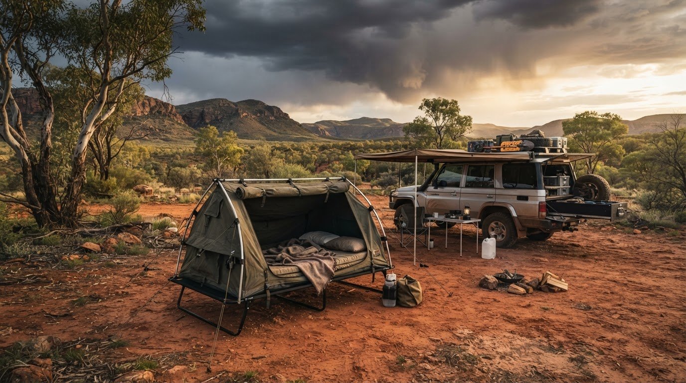
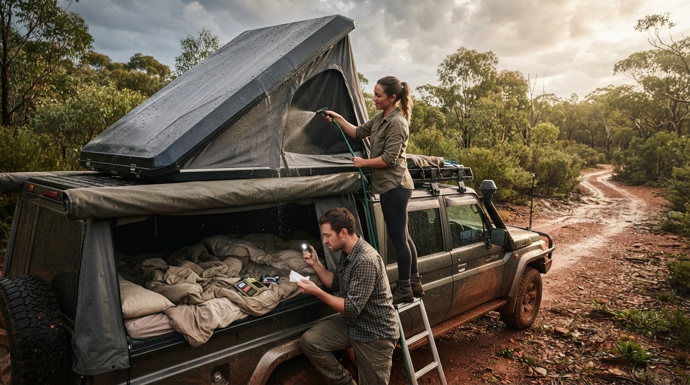
For those of us driving to the ferry terminals at Lucinda or Cardwell, vehicle security is a major priority. Many members of our community choose to spend the night before departure in one of our recommended roof top tents at a nearby mainland campground. It serves as the ultimate basecamp. You can organize your pack one last time and keep your vehicle secure while you’re off-grid exploring the island’s rugged interior.
Navigating the 32km Route: A Section-by-Section Terrain Breakdown
Crossing Hinchinbrook Island is a lesson in topographical diversity. One moment you’re trekking through palm-fringed beaches, and the next you’re hauling a 20kg pack over greasy granite boulders. This Thorsborne Trail guide breaks down the four main segments so you can pace yourself effectively. The journey starts with a sharp reality check as you climb the saddle between Ramsay Bay and Nina Bay. It’s a steep, humid ascent that immediately tests your fitness, but the reward is your first glimpse of the island’s rugged spine. The descent into Nina Bay leads you into a world of ancient cycads and towering mangroves.
The stretch from Nina Bay to Little Ramsay Bay is where the technical work begins. You’ll encounter extensive rock-hopping sections along the coastline. These aren’t just small pebbles; they’re massive boulders that require careful foot placement and solid core stability. Moving further south toward Zoe Bay, the terrain shifts into dense melaleuca swamps. This section is often muddy and mentally draining, especially when you reach the wide expanse of South-East Creek. The final push from Zoe Bay to Mulligan Falls is the most iconic. It involves a near-vertical scramble up a granite face. It’s grueling, but standing at the top of the falls looking back toward the mainland is a life-changing moment.
The Nina Peak Detour
If your legs are feeling strong on Day 1, the Nina Peak detour is an absolute must. This side trip adds about 1.5 to 2 hours to your itinerary, but it offers the most spectacular 360-degree views of the island. We recommend leaving your heavy packs at the trail junction to save energy. Just ensure they’re tucked away from the main path and zipped tight to keep out curious wildlife. The scramble is exposed and can be slippery after rain, so take your time and prioritize safety over speed.
Mastering the Tidal Crossings
Tides dictate your schedule on Hinchinbrook. South-East Creek is a major bottleneck that can become impassable during high tide or heavy rainfall. Always consult the latest tidal charts before you set off. You can find essential safety alerts and updates through the Thorsborne Trail official permits and booking portal. We always pack trekking poles for these crossings to gauge depth and maintain balance in the moving water. If the tide is too high, wait it out. There’s no sense in risking a fall in crocodile-inhabited waters.
Planning your logistics is half the battle. If you’re looking for more inspiration for your next Australian trek, explore our community stories at adventurerz.com. You might also want to check our reviews on roof top tents to ensure your pre-hike basecamp is as comfortable as possible.
Essential Gear Strategy: Balancing Weight and Eco-Impact
Preparing for a 32km island traverse means every gram in your pack must earn its place. This Thorsborne Trail guide focuses on high-performance gear that respects the island’s fragile ecosystem. We follow a strict “Leave No Trace” policy; if you pack it in, you must pack it out. This includes every bit of rubbish, food scraps, and hygiene products. On the grueling Zoe Bay ascent we mentioned earlier, a pack that is even two kilograms too heavy can turn a rewarding climb into a dangerous struggle. We suggest keeping your total weight under 18kg, including your water supply, to maintain your agility on the granite slabs.
Sustainability isn’t just a buzzword for our community; it’s a survival strategy for the island. We recommend switching to biodegradable soaps and reusable silicone storage bags instead of single-use plastics. These small choices prevent microplastics from entering the pristine island creeks. Every piece of equipment should be chosen for its durability and minimal environmental impact. When we protect the trail today, we ensure it remains a wild sanctuary for the explorers who follow us in 2027 and beyond.
The road trip to the ferry terminals at Lucinda or Cardwell is a vital part of the expedition. We find that sleeping in roof top tents the night before departure is the most efficient way to start. It keeps you off the ground, away from mainland midges, and allows for a final gear audit in a controlled environment. You can wake up at the trailhead, pack your basecamp in minutes, and be ready for the morning boat transfer without the stress of a long drive.
The Remote Hiker’s Kit
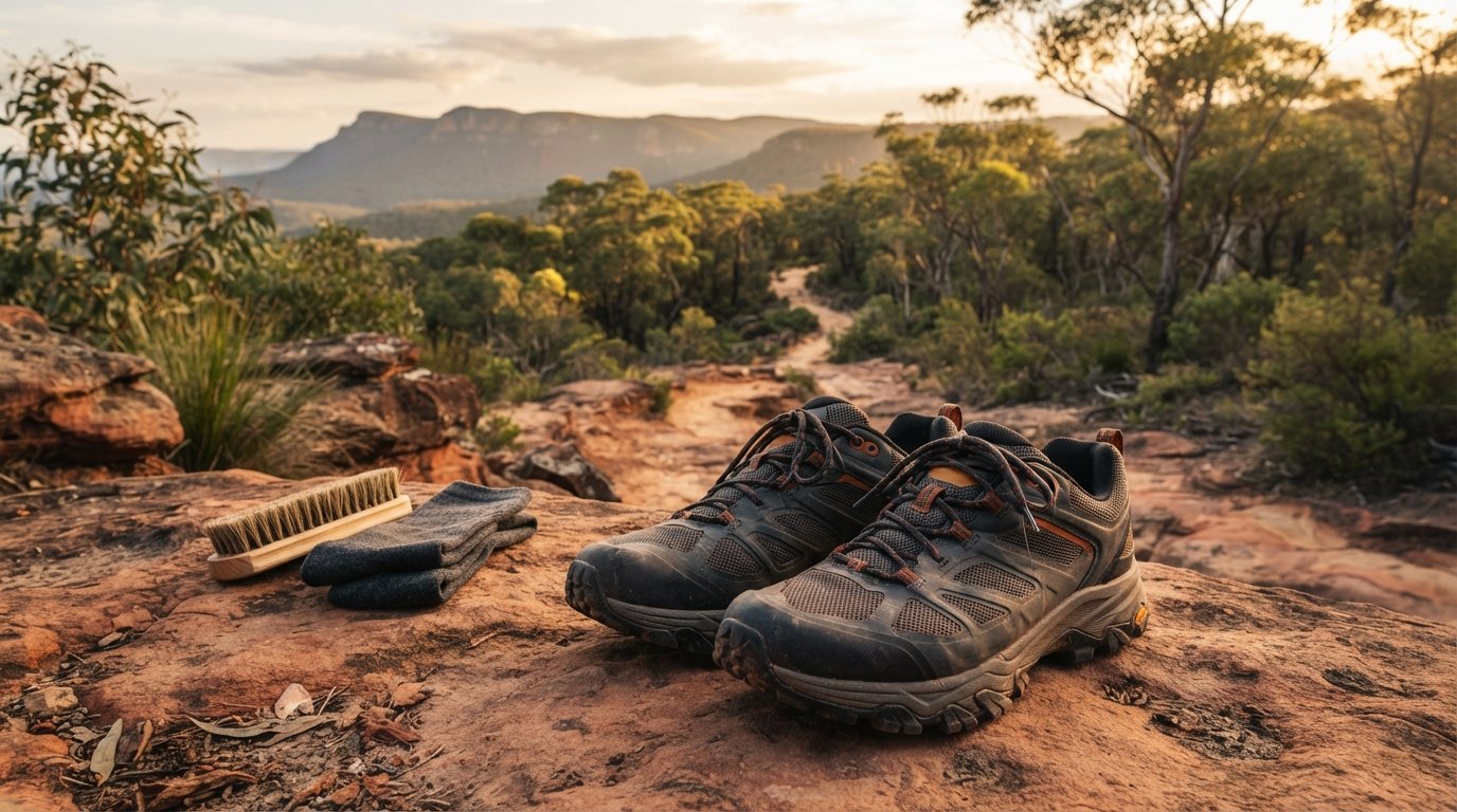
Tropical weather demands a shelter system that balances waterproofing with high-flow ventilation. For water, chemical tablets alone won’t strip out the tannins or sediment found in some island pools. We recommend a hollow-fiber filter for clear, safe drinking water. Your footwear should prioritize drainage and grip. Heavy leather boots often stay wet for days; instead, look for synthetic hikers with vibram soles to handle the technical rock-hopping sections.
Vehicle Prep and Shade
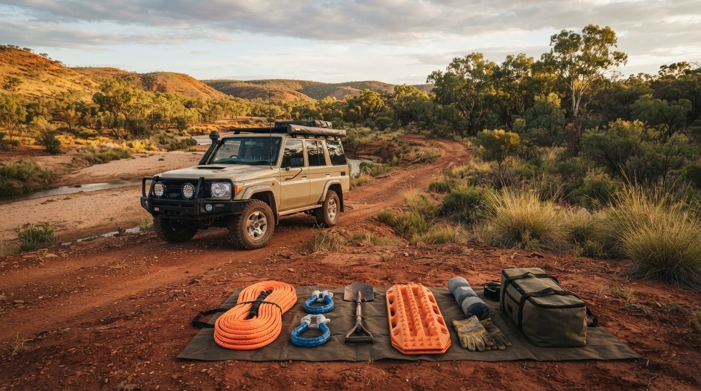
Setting up 4WD awnings at the boat ramp provides a shaded workspace to sort your food and double-check your emergency beacon. We always leave a “clean kit” of clothes and a towel in the vehicle. There is no feeling quite like peeling off salt-encrusted gear and sliding into fresh cotton for the drive home. Finally, ensure your vehicle’s power management system is ready to top up your GPS and power banks before you step onto the boat.
Survival and Stewardship: Managing Water and Wildlife Responsibly
Survival on Hinchinbrook isn’t just about your physical endurance; it’s about your awareness of the island’s delicate balance. In this Thorsborne Trail guide, we emphasize that your impact on the ecosystem is as critical as your personal safety. Reliable water sources like Zoe Falls and Diamantina Creek are the lifeblood of the trek, but they require a methodical approach. We’ve seen hikers underestimate the distance between these points and pay the price in the tropical heat. Stewardship means protecting these pools from contaminants like sunscreens and insect repellents, which can devastate the local aquatic life. We always rinse off well away from the water’s edge before taking a dip.
Water Management in the Dry Season
As of July 2026, field reports indicate that creek flow levels are lower than typical for this time of year. If you’re heading out during the “Challenging seasonal hiking conditions” alert effective from October 1, 2026, you must carry a minimum of 3 to 4 litres of water per person. This isn’t just a suggestion; it’s a safety requirement for the exposed ridge sections where the sun is relentless. We fill every bladder to maximum capacity at every reliable source, even if we think we have enough. Remember to treat all water; while the pools look crystal clear, bacteria can linger in low-flow conditions during the dryer months.
The Hinchinbrook Wildlife Challenge
The native rats at Little Ramsay Bay are legendary for their persistence and intelligence. They’ll chew through a lightweight tent or an expensive pack in minutes to reach a single muesli bar. We use heavy-duty, rat-proof bags and hang our food from the established poles provided at the campsites. Beyond the camp, keep a respectful distance from the Southern Cassowary. These prehistoric birds are endangered and can be unpredictable if they feel cornered; those interested in ethical animal encounters may find that wildlife photography tours provide excellent preparation for documenting such rare species. Because much of the trail is a cellular dead zone, we never step onto the boat without a registered Personal Locator Beacon (PLB) and a satellite messaging device for emergencies.
Ready to upgrade your adventure kit with gear that lasts? Explore our community reviews at adventurerz.com for expert advice on sustainable hiking equipment and remote Australian travel.
Planning Your Remote Expedition: Community Support and Next Steps
Stepping off the return ferry at Lucinda doesn’t mean your journey is over. It’s actually where your role as a steward of the island truly begins. We encourage every hiker to join our Adventurerz community to share real-time 2026 trail updates. Whether you encountered unexpected trail washouts or found a new seasonal water soak, your boots-on-the-ground intel helps the next group of explorers stay safe. This Thorsborne Trail guide is a living document; and our collective experiences ensure it remains the most accurate resource for navigating this rugged landscape.
When you share your journey on social media, we ask you to practice ethical photography. The Thorsborne Trail is a place of profound silence and ancient beauty. Consider skipping the geotags for specific, fragile locations and instead focus on capturing the spirit of the wilderness. By keeping certain “secret” spots off the digital map, we help manage the foot traffic and preserve the sense of discovery for everyone. Our community thrives on this mutual respect for the land and each other.
Leveraging the Travel Planner
For many of us, Hinchinbrook is just one stop on a much larger journey through the Far North. We recommend integrating your trek into a broader remote Australia travel plan to make the most of your time in the tropics. Mapping your 2026 road trip route requires careful coordination; especially when timing your arrival with ferry departures from Cardwell. If you’re traveling with others, use our community forums to sync up with fellow hikers. Sharing the road not only increases safety in remote areas but also builds the fellowship that defines our lifestyle.
Responsible Exploration After the Trail
Post-hike recovery is the perfect time to support the local eco-tourism operators who call the Cassowary Coast home. Spend a few days on the mainland exploring the coastal towns responsibly. You can also contribute to citizen science by reporting any Southern Cassowary sightings or unusual pest activity to park rangers. This data is vital for long-term conservation efforts on the island. We believe that sustainable adventure is the practice of exploring wild places while actively contributing to their preservation and the well-being of local communities.
Before you head off, run through your final checklist one last time. Ensure your 2026 permit is printed and stored in a waterproof sleeve. Double-check your return ferry time; and confirm that your vehicle is ready for the drive home. If you’re looking for more gear advice before you go, take a look at our latest reviews on 4WD awnings to keep your mainland basecamp cool and comfortable. We’ll see you out there on the trail.
Step Into the Wild: Your Hinchinbrook Journey Awaits
Mastering Hinchinbrook Island is about more than just physical endurance; it’s about the deep preparation that respects the raw power of the Far North. From navigating the 2026 permit scramble to balancing your pack weight for the Zoe Bay scramble, you’re now equipped with the technical knowledge to cross this Jurassic landscape safely. This Thorsborne Trail guide serves as your foundation for a trek that balances rugged self-reliance with a strict “Leave No Trace” commitment. You’ve got the logistics sorted and the terrain mapped; now all that’s left is the island itself.
We’re ready to help you take the next step. Our platform offers specialized remote travel guides and expert gear recommendations to ensure you’re never trekking alone. By joining our sustainability-first community, you gain access to the collective wisdom of explorers who have walked these sands before you. Join the Adventurerz community to plan your 2026 Hinchinbrook expedition! We can’t wait to hear your stories from the saddle and see your photos from the falls. The island is calling; and it’s time to answer.
Frequently Asked Questions
Do I need a permit to hike the Thorsborne Trail in 2026?
Yes, you absolutely need a camping permit from the Queensland Parks and Wildlife Service to step onto the trail. For the 2026 season, these permits cost $7.50 per person per night. Because of the new trial system limiting starts to just 12 people per day, we recommend booking your spot exactly six months in advance to avoid disappointment. This system helps us preserve the island’s wild character and ensures a low impact experience for every explorer.
How difficult is the Thorsborne Trail for beginners?
The Thorsborne Trail is a challenging, grade 4 trek that we don’t recommend for absolute beginners. You’ll need to navigate 32 kilometers of technical terrain, including heavy rock-hopping along the coast and steep granite scrambles. Carrying a full pack with all your food and water for four days requires significant physical fitness and mental resilience. We suggest gaining experience on other multi day Australian tracks before tackling this rugged island wilderness.
Are there crocodiles on Hinchinbrook Island?
Yes, estuarine crocodiles live on Hinchinbrook Island, particularly in the mangroves, tidal creeks, and estuaries. We stay very alert at crossings like South-East Creek and always keep our distance from the water’s edge in these areas. To stay safe, we only swim in the elevated freshwater pools at Zoe Falls and Mulligan Falls. Respecting these apex predators is a vital part of our commitment to responsible exploration in the Far North.
What is the best time of year to walk the Thorsborne Trail?
The ideal window for this trek is during the cooler, drier months from May to September. This Thorsborne Trail guide notes that the island is closed to all hikers during January and February to allow the environment to recover during the peak wet season. If you choose to hike in the shoulder months like October or March, you’ll need to prepare for intense humidity and a “challenging seasonal conditions” alert that is currently in effect.
Is there drinking water available on the Thorsborne Trail?
Drinking water is available at several creek crossings, but its reliability changes depending on recent rainfall. Major sites like Zoe Falls and Diamantina Creek are usually dependable, though we always use a high quality filter to treat the water before drinking. During the 2026 dry season, we suggest carrying at least 3 to 4 litres of capacity to bridge the gaps between sources. We never assume a creek is flowing until we see it ourselves.
How do I get to the Thorsborne Trail trailhead?
Access to the island is only possible via private boat charters departing from Lucinda or Cardwell. These transfers typically cost about $240 per person for the return trip and must be coordinated with your permit dates and the local tides. Many of us find that staying in our recommended camping equipment on the mainland the night before makes the early morning boat departure much smoother. It’s the perfect way to do a final gear check before going off-grid.
Can I camp anywhere on Hinchinbrook Island?
No, you must only camp at the specific designated sites listed on your permit to protect the island’s fragile ecosystem. These sites, such as Nina Bay and Little Ramsay Bay, are managed to minimize our collective footprint and protect local wildlife. This Thorsborne Trail guide emphasizes that following these rules is a core part of our community’s “Leave No Trace” ethics. Sticking to the designated pads prevents erosion and keeps the wilderness pristine for the next group of hikers.
What emergency equipment should I carry on the trail?
We never start this trek without a registered Personal Locator Beacon (PLB) and a satellite messaging device. Most of the island is a total cellular dead zone, so your mobile phone won’t help you in a crisis. You should also carry a comprehensive first aid kit, a whistle, and at least one extra day of rations. Being self-reliant means having the tools to handle unexpected delays, whether they are caused by weather or difficult tidal crossings.